Tropical Forest Carbon Valuation with Satellite Data
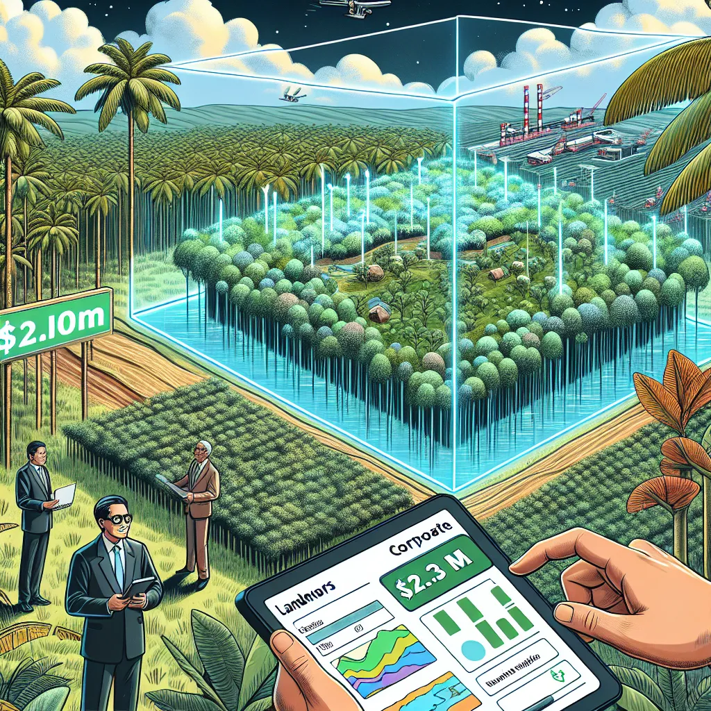
Landowners in tropical areas often sell to agriculture or logging interests because they can’t quantify the economic value of preservation. Without knowing how much carbon their forest holds, they can’t access financing or conservation payments. A valuation tool powered by ESA satellite data and real-time carbon prices can calculate the dollar value of a plot’s carbon storage — making “not cutting” it down finally bankable. With satellite-calibrated biomass data and predictive pricing models, landowners can receive accurate valuations and leverage them for loans, leases, or sales to conservation buyers. For example, a farmer in Brazil discovers their 1,000 hectares store $2.3M in carbon credits and uses the tool to negotiate a preservation deal with a corporate offset buyer.
Description
No additional description provided.
The Pitch
In tropical regions, a significant challenge faced by landowners is the economic pressure to sell their lands to agriculture or logging interests. These activities often promise quick financial returns, making it difficult for landowners to resist when immediate financial needs arise. A major underlying issue is the inability of landowners to quantify the economic value of preserving their forests. Without a clear, accessible understanding of how much carbon their forest holds, procuring financing or tapping into conservation payments becomes nearly impossible. This dilemma results in the accelerated destruction of precious ecosystems, contributing to global carbon emissions and biodiversity loss.
Potential Solution
To address this pressing issue, we propose the development of a comprehensive valuation tool that utilizes European Space Agency (ESA) satellite data, combined with real-time carbon pricing information. This tool aims to calculate the dollar value of a forest plot's carbon storage, transforming the act of preservation into a financially viable and competitive option. By accurately appraising the carbon sequestration capability of these lands, the tool empowers landowners to make informed decisions, opening new avenues for financial gain without resorting to deforestation.
Product Details
The envisioned solution incorporates several key components:
1. Satellite-Calibrated Biomass Data: Utilizing advanced satellite imagery from the ESA, the tool can measure and monitor the biomass of forests. This data is crucial in determining the amount of carbon each forest plot sequesters.
2. Predictive Pricing Models: By integrating real-time carbon market pricing, the tool can provide up-to-the-minute valuations of a forest’s carbon storage. These valuations are designed to help landowners explore conservation options with the full confidence of market-backed financial assessments.
3. User-Friendly Interface: The application will feature an intuitive interface allowing landowners to easily input their land data and receive instant valuations. Emphasizing ease of use will ensure the tool is accessible even to those with limited technical expertise.
4. Financial Integration: Landowners can leverage these valuations to unlock financial opportunities, such as loans or leases from conservation entities. By presenting credible and verifiable carbon storage values, they can negotiate effectively with corporate offset buyers or environmental non-governmental organizations (NGOs).
Tools for Building the MVP
To develop a Minimum Viable Product (MVP), the following tools and technologies could be leveraged:
- GIS Software: Tools like QGIS or Google Earth Engine to integrate and analyze satellite data. - API Services: Use of open APIs for accessing real-time carbon pricing data, such as those provided by climate-focused financial platforms. - Web Development Frameworks: Tools like React or Vue.js to build a user-friendly frontend, combined with a robust backend using Python or Node.js. - Cloud Services: Platforms such as AWS or Google Cloud to host and process large satellite data sets efficiently.
Go-To-Market Strategy
1. Targeted Outreach: Initially focus on tropical regions with high deforestation rates, partnering with local government agencies and environmental NGOs to raise awareness and promote the tool.
2. Partnerships: Collaborate with conservation finance organizations and carbon offset buyers to create a robust ecosystem supporting landowners in transitioning towards forest preservation.
3. Pilot Programs: Implement pilot projects in regions like Brazil and Indonesia to demonstrate the efficacy and benefits of the tool, generating case studies and success stories.
4. Educational Campaigns: Design educational resources and workshops to empower landowners with the knowledge to utilize the tool effectively.
Business Model
The business model can be structured around multiple revenue streams:
- Subscription Fees: Charge landowners a monthly or annual fee for accessing the tool and its features. - Transaction Fees: Implement a percentage fee for successful transactions brokered using the valuation data.
- Partnership Agreements: Establish revenue-sharing agreements with carbon offset buyers and financial institutions that utilize the tool for sourcing carbon credits or financing deals.
By offering a tangible economic incentive not to deforest, this tool aims to play a significant role in preserving vital ecosystems, reducing carbon emissions, and providing financial stability for landowners.