Satellite Property Monitoring Alerts
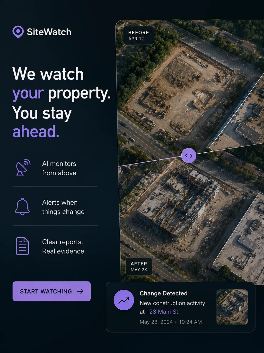
Commercial property owners, lenders, insurers and investors still send people to properties to answer surprisingly basic questions: did construction start, was the roof replaced, is the building occupied, did storm damage appear, or has work stalled? SiteWatch is an address-level monitoring service that watches properties from above and alerts you when something meaningful changes. A customer enters the addresses they care about, chooses what to watch for, and SiteWatch uses existing satellite and aerial imagery plus vision models to compare each new image against the property’s history. This can be built now without launching satellites because imagery APIs and multimodal AI have made the expensive parts available as infrastructure. A construction lender monitoring 300 projects could receive an alert that activity at one site appears to have stopped for 21 days, along with before-and-after imagery and a timestamped report, giving them a reason to call the borrower weeks before the next scheduled inspection.
Description
No additional description provided.
The Pitch
Physical-world verification is still treated like an occasional event, while the risk it manages is continuous. A loan can deteriorate, a roof can disappear, a job site can go quiet, or a tenant can vacate long before anyone is scheduled to look. The valuable shift is not better photography; it is turning property condition from something discovered during inspections into something observed as a time series.
The strongest wedge is that the questions are simple, but the consequences of missing them are expensive. A person does not need a perfect digital twin to know whether a building burned, a parking lot emptied, materials stopped arriving, or grading began on a parcel. Many property decisions hinge on coarse visual facts that are obvious from above once you know where and when to look. That makes the product useful before it is omniscient: it can be wrong about subtle interpretation and still be right often enough about visible change to save real money.
The business also benefits from an unusual asymmetry: one address may matter to many parties for different reasons. The same building can be relevant to a lender’s collateral file, an insurer’s underwriting decision, an owner’s asset management team, and an investor’s diligence process. Once a property’s visual history is organized, each new image becomes more valuable because it updates a record that multiple economic actors independently care about. The asset is not merely the latest detection; it is the longitudinal memory of places.
A particularly interesting part is that this substitutes for the most awkward form of labor: sending skilled people to confirm facts that are visually obvious but administratively important. Field inspection is expensive not only because of travel, but because it introduces delay, scheduling friction, inconsistent documentation, and human incentives to underreport ambiguity. A timestamped visual trail creates a colder, more portable kind of evidence—less rich than a site visit, but easier to trust, share, and compare over time.
If this company worked, it would become part of the background nervous system of real estate finance and insurance. The category is not “property imagery” so much as “exceptions from expected reality.” Most properties are boring most of the time; the business exists to know exactly when they stop being boring. That is a powerful position, because the customer is not paying to look at images. They are paying to avoid being the last person to know that reality changed.