Satellite-Based Early Warning System for Deforestation
Illegal logging and degradation often go undetected for weeks or months, especially in cloud-covered tropical regions. By the time it’s spotted, enforcement is too late. An early-warning system using ESA biomass data can detect sudden drops in forest density and send alerts to enforcement agencies, drone operators, or NGOs. It’s like a fire alarm for forest loss — powered by satellite CT scans. The “why now” is key: the satellite can see through clouds and deep into tree trunks, offering consistency year-round. A rainforest protection NGO in Indonesia could use the platform to monitor critical hotspots, receive alerts when biomass changes drastically, and deploy ranger teams immediately — preventing loss instead of just reporting it.
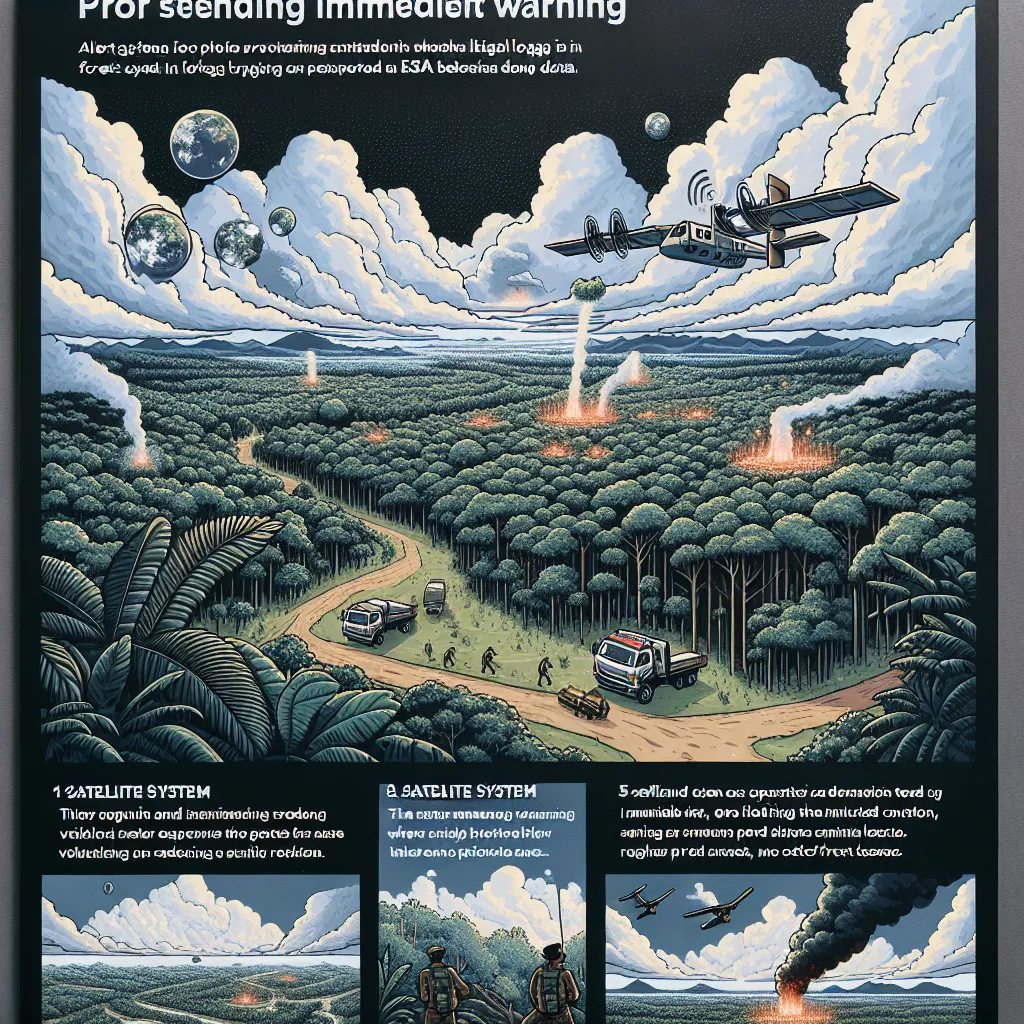
Description
No additional description provided.
The Pitch
In the fight against illegal logging and forest degradation, timely detection and response are critical. Traditional methods often fail to capture activity swiftly, particularly in remote, cloud-covered regions. What if we could harness the power of space technology to create an early warning system that provides real-time alerts about forest health changes? This system could become an invaluable tool for conservation bodies worldwide, ensuring rapid response and effective prevention measures.
**Backstory**
Forests, particularly tropical ones, are the planet's lungs, absorbing vast amounts of CO2 and providing habitat for countless species. However, illegal logging poses a severe threat, often remaining undetected due to climatic and geographical barriers. Traditional monitoring, relying on sporadic aerial or ground surveys, frequently results in delayed responses, by which point the damage has often already occurred. Recent advancements in satellite technology present an opportunity to transform our monitoring capabilities and address this longstanding challenge.
**Problem**
Illegal logging and habitat degradation activities can go undetected for extended periods due to persistent cloud cover and the inaccessibility of forested regions. By the time these activities are discovered through conventional methods, enforcement agencies are left focusing on reporting rather than prevention. This delay significantly impedes conservation efforts.
**Solution**
Developing an early warning system that utilizes European Space Agency (ESA) biomass data from satellites to monitor forest density in real-time can change the landscape of forest conservation. This system, akin to a fire alarm for forest loss, could detect abrupt changes in biomass, indicating potential illegal activities.
By providing consistent and year-round data, regardless of cloud cover, this solution enables proactive measures. It empowers rainforest protection NGOs, government bodies, and local enforcement agencies to act swiftly and prevent deforestation before it becomes irreversible.
**Product Details**
- **Platform Functionality**: The system will leverage satellite data analytics to detect changes in biomass. It will feature a user-friendly interface where data is transformed into actionable insights through real-time alerts.
- **Alert Mechanism**: Instant alerts will be sent to registered users, including NGOs, enforcement agencies, and drone operators, indicating the location of potential illegal activities. Alerts will include coordinates, severity levels, and recommended actions.
- **Integration**: The platform will offer API integration options, allowing for seamless incorporation into existing systems used by conservation groups and government bodies.
**Tools for MVP Launch**
- **Data Access**: Utilize ESA satellite data, which offers extensive coverage and resolution suitable for biomass monitoring.
- **Technology Stack**: Develop the platform using modern web technologies such as React for frontend, Node.js for backend, and AWS for scalable cloud infrastructure.
- **Analytics Engine**: Implement machine learning algorithms for anomaly detection and data processing, using Python libraries like TensorFlow or PyTorch.
- **User Interface Design**: Employ Figma or Adobe XD for crafting intuitive user interfaces for both desktop and mobile platforms.
**Go-to-Market Strategy**
- **Target Users**: Focus on NGOs, government agencies, and conservationists as primary users. Emphasize the immediate benefits of reduced illegal logging.
- **Partnerships**: Collaborate with ecological research groups and environmental organizations to enhance credibility and extend reach.
- **Pilot Programs**: Launch pilot initiatives in regions with high deforestation rates to gather user feedback and refine the system.
- **Awareness Campaigns**: Initiate educational campaigns highlighting the technology's impact, featuring testimonials from pilot program participants.
**Business Model**
- **Subscription-Based Model**: Offer tiered subscription plans based on the size of the area monitored and the number of alert recipients.
- **Freemium Model**: Provide basic alerts free of charge with options to upgrade for advanced analytics and additional features.
- **Consulting Services**: Offer services to customize and integrate the platform into existing workflows of larger organizations.
By implementing an early-detection system that harnesses cutting-edge satellite technology, we can empower conservation agencies to tackle illegal logging head-on, preserving the planet's vital forests for future generations.