Non-Invasive Archaeology: Mapping Hidden Histories
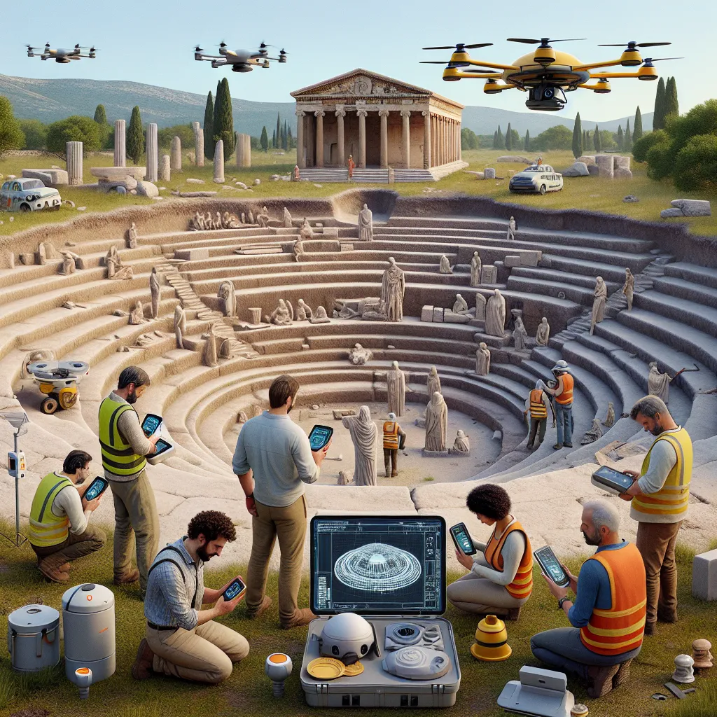
Archaeologists destroy what they dig. Excavation is slow, and much of Earth’s hidden history—buried cities, chambers, tunnels—may remain untouched or destroyed upon discovery. A startup could launch a non-invasive archaeology platform using mmNorm sensors mounted on drones or handheld scanners that reconstruct the shape of ruins or artifacts behind stone, earth, or collapsed structures. This goes beyond radar—it recreates the shapes of columns, vases, skeletons, or even inscriptions hidden within walls. Why now? Because mmNorm enables precise reconstruction of object geometries through dense material—making it possible to map buried rooms or artifacts without digging at all. Imagine a drone flying over an ancient site in Turkey, scanning underground and reconstructing a hidden amphitheater—accurately modeling every row of seats using ambient reflections alone.
Description
No additional description provided.
The Pitch
Historically, archaeology has presented a unique dichotomy: while its purpose is to uncover and preserve human history, the process of excavation often leads to the destruction of parts of what it seeks to study. Traditional methods involve significant disturbance to the site, which can result in irreversible changes or damage. Furthermore, the slow pace of manual excavation means that many archaeological sites remain unexplored or risk damage upon discovery. To mitigate these challenges, there’s an emerging opportunity to revolutionize the field of archaeology with a non-invasive solution.
Identifying the Challenge
The predominant issue facing archaeologists is the invasive nature of excavation. Physical digging disrupts the site and often permanently alters it, potentially leading to loss of contextual information. Additionally, resources required for traditional methods make large-scale exploration and preservation impractical. There is a growing need for technology that can peer beneath the surface without the need for breaking ground.
Proposed Solution
A new, non-invasive archaeology platform can address these limitations by utilizing advanced technology to visualize and understand what lies beneath the earth’s surface. By employing mmNorm sensors equipped on drones or handheld devices, the platform will capture detailed geometries of hidden artifacts and structures. This technology will leverage ambient reflections and other non-destructive methods to recreate the spatial layouts of archaeological sites. This approach allows for a precise modeling of hidden features, such as ruins, artifacts, or even inscriptions, without direct contact.
Product Concept
The main product offering would consist of two key components:
1. Drone-Mounted Scanners: Lightweight drones equipped with mmNorm sensors capable of flying over and scanning large archaeological sites from above, capturing detailed subsurface data.
2. Handheld Scanners: Portable devices for up-close, controlled exploration in areas where drone access may be restricted or where precision is required in smaller spaces.
The mmNorm sensors provide high-resolution imaging capabilities, distinguishing features through dense materials, and overcoming the limitations of traditional radar systems. This innovative approach enables the accurate reconstruction of objects hidden within walls or underground.
Tools for Launching an MVP
To quickly develop a minimum viable product, consider utilizing the following tools and technologies:
- Sensor Technology: Partner with manufacturers specializing in mmNorm and other advanced sensor technologies to develop prototypes. - Drone Development: Collaborate with drone manufacturers or utilize existing drone platforms that can be outfitted with custom sensor hardware. - Software Development: Build a software platform capable of processing the data captured by the sensors, utilizing machine learning to enhance the reconstruction accuracy. - Data Visualization: Implement 3D modeling and visualization tools to transform raw data into meaningful, interactive models.
Go-To-Market Strategy
1. Partnerships: Build partnerships with academic institutions, museums, and archaeological organizations to validate and showcase the technology. 2. Demonstration Projects: Conduct high-profile pilot projects at significant archaeological sites to demonstrate value and effectiveness. 3. Thought Leadership: Publish findings and case studies in industry journals and present at relevant conferences to position the company as a leader in non-invasive archaeology. 4. Government Collaboration: Engage with government agencies responsible for cultural heritage and preservation to explore collaborative opportunities.
Business Model
Develop a SaaS-based model combined with hardware sales and leasing. The software platform can offer tiered subscriptions for processing and visualization services. Revenue from hardware sales, coupled with consulting or onsite scanning services, could provide an additional income stream. Alternatively, a partnership-based revenue share model with academic and cultural institutions may be explored to expand reach and influence.
In summary, by adopting this approach, the field of archaeology can be transformed, unlocking new opportunities for exploration and preservation while minimizing disruption to our precious historical sites.